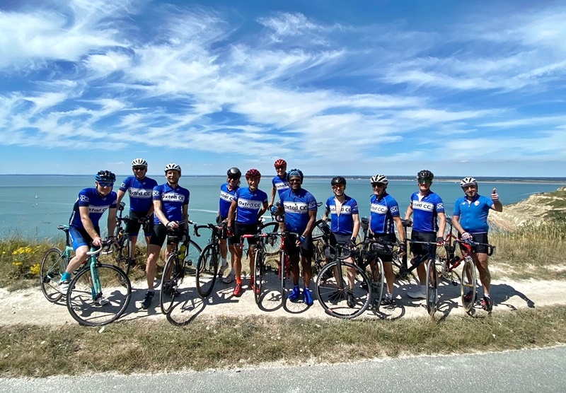
An easy drive to Portsmouth, park there, take the bikes on the ferry and we’re off for a great 70 mile ride around the beautiful island…
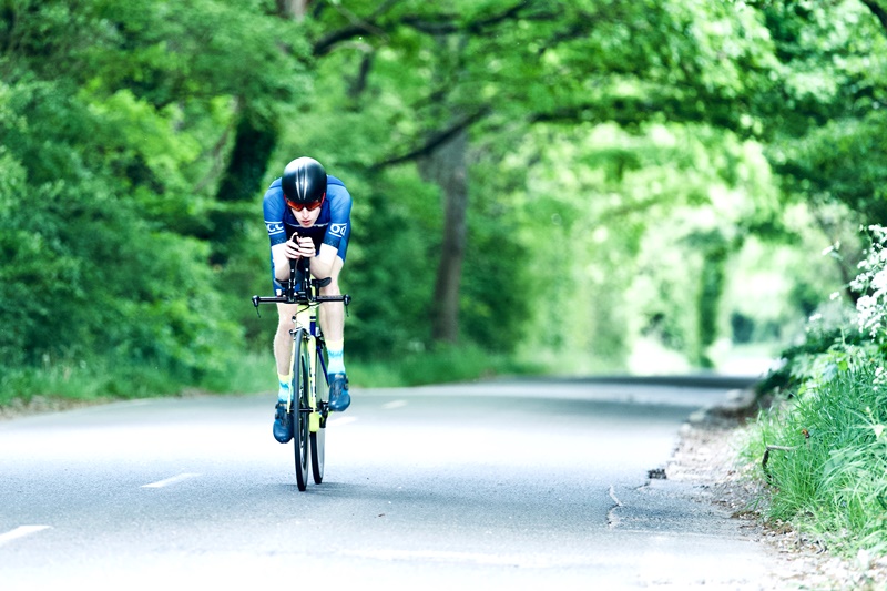
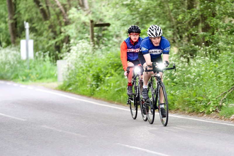
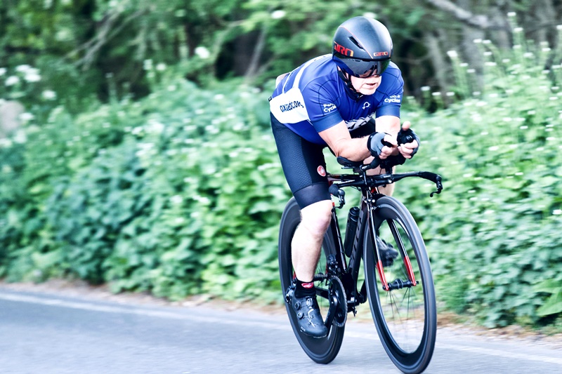
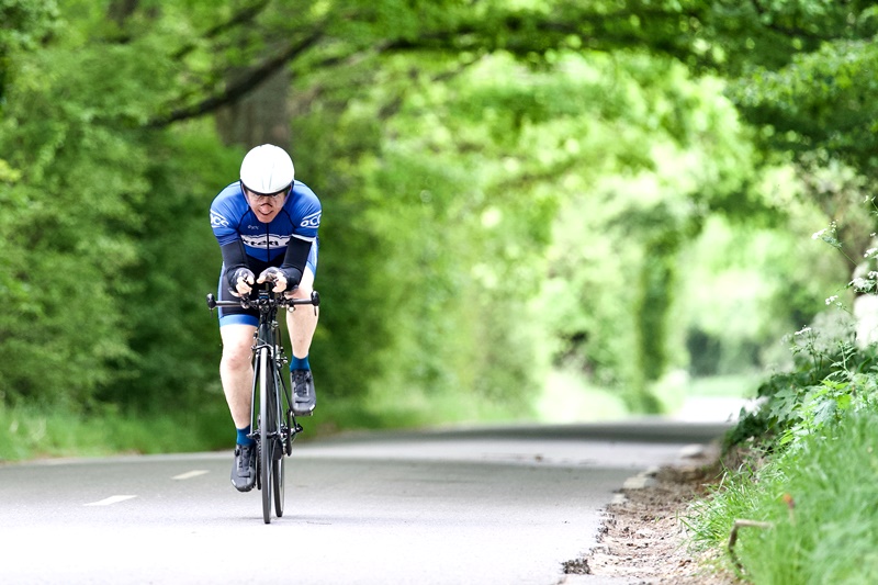
Some photos from the EGCC Horne TT 10th May 2022

The Rapha Women’s 100km to Kingdom, Penshurst
Quite a testing hilly route of 62 miles, Kingdom appears at 36 miles with an easier ride home!
Kingdom cafe, Penshurst 36 miles
A scenic ride to Kingdom via Cowden, returning via Four Elms,
Bolney Vineyard cafe from The Red Barn
A delightful destination, the cafe has an outside terrace overlooking the vineyard, fabulous in summer! This route goes via Horne and Copthorne to Turner’s Hill, we recommend single file on the main road stretches. It’s a great blast from Turner’s Hill to Handcross, then down the enchanting Coos Lane and Slaugham Lane to Warninglid. Left then right into Colwood, be careful on the descent, left at the end, the vineyard comes up suddenly, easy to whizz past. The route back is via Bolney Village, Broxmead, Slough Green, a slog up Brantridge to the water tower, then retrace via Turners. https://connect.garmin.com/modern/course/46911366
Matfield and Hadlow
The route is just under 60 miles, heading West into Kent. The first half has a few gentle climbs, heading out through Groombridge, via Frant to Matfield. Other than a short stretch of the A275, the route takes in quiet roads through lots of woodland. From Matfield, the roads get flatter and faster, past orchards and oast houses to remind you that you are deep into Kent. There are a couple of possible cafe stops in Hadlow, at Weathered & Worn or the agricultural college, before heading back through Shipbourne and Hildenborough.
https://connect.garmin.com/modern/course/45487831
Fletching & Newick
The route is just under 60 miles, taking in parts of the Ashdown Forest before heading South to Fletching and some lovely quiet Sussex lanes. There are possible cafe stops at Fletching, Dennekers Farm and Newick before heading back North. The route can be shortened by around 10 miles by taking a right turn at the end of Fletching High St onto Mill Lane, which rejoins the route at the end of the road.
https://connect.garmin.com/modern/course/45485115
The super-tough King of the Downs 114 miles
Here is the famous Evans King of the Downs route, 114 miles and 8500 feet of climbing (183km, 2596m)
Some of the toughest hills in the South East, one after another!
https://connect.garmin.com/modern/course/45418128
A video glimpse of Oxted CC promoting the superb ‘Circuit of Kent’ sportive…




You must be logged in to post a comment.